
As the new CEO of Natural Hazards Research Australia, I am pleased to have the opportunity to contribute to this new Asia Pacific Fire column about new and innovative research that will inform emergency management practice across the sector.
Recent flood, bushfire, storm and cyclone disasters highlight many opportunities to advance research and disaster risk reduction. More of the same is not the answer and there is a strong role for research and science in inspiring and supporting change. We must look ahead and embrace new approaches, collaborations and technologies. Research can help us develop next-generation capabilities across all natural hazards, to confront the growing and evolving challenges of future decades and to consider the big policy shifts that might be necessary.
Natural Hazards Research Australia is built from the strong foundations of the previous Bushfire and Natural Hazards Cooperative Research Centre with a much stronger, end-user-driven focus. Vital to our future success will be working collaboratively across different complementary research initiatives and promoting partnerships between end-users and researchers. Natural Hazards Research Australia is your national natural hazards research capability and this magazine is a key channel in making this collaboration possible. I encourage your involvement in shaping and using the Centre’s research to drive change to make Australia more resilient, safer and sustainable.
This issue, I’d like to draw your attention to three core research projects: two that are working with communities who have been affected by the disruptive flooding this year and one that is building a national bushfire database capability.
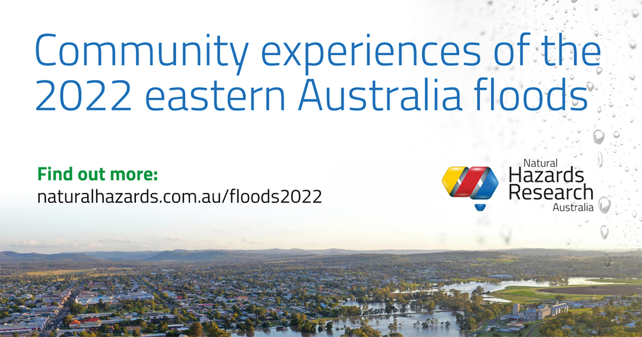
Community experiences of the 2022 eastern Australia floods
This research was funded by Natural Hazards Research Australia, supported by the NSW State Emergency Service (NSW SES) and Queensland Fire and Emergency Services (QFES). The purpose of this work was to hear and learn from the personal stories of people who were impacted or threatened by these floods, specifically across southeast Queensland and New South Wales in the first half of 2022.
Researchers at Macquarie University, the Queensland University of Technology and the University of Southern Queensland – led by A/Prof Mel Taylor – have been hearing from people who experienced a wide range of flood impacts, from mild/indirect to severe flooding, through interviews and an online survey. Participants were asked about their awareness of the floods, actions they may have taken to plan and prepare for them, how they responded to any warnings and how they were affected by the flooding.
The important first-hand experiences gathered for this research will provide an in-depth understanding of the communities’ lived experiences – before, during and following the significant flood events in early 2022. This data will be a valuable source of accurate information to help agencies and stakeholders understand and learn from these floods.
Results will be made publicly available in early 2023 and will help influence future policy about warnings and communication, understand vulnerabilities, identify ways to better help and support households and communities, and provide guidance on the most effective approaches to the adaptation of housing to withstand floods. The findings will also be provided to the relevant emergency services and government departments to reduce community flood risk in future.
We’re now working with partners to extend this research into Victoria and Tasmania, to learn about the unique experiences of communities in those flooded areas.
Learn more about this research at www.naturalhazards.com.au/floods2022

Improving predictions and warnings for flash flooding
This project is currently in development and will identify key flash-flooding knowledge gaps and research needs in the Australian disaster and emergency management sector.
By its nature, however, flash flooding is difficult to predict, largely because of uncertainties in forecasting heavy rainfall and the landscape response. This means that accurate forecasts of the timing and location of flash-flood impacts are often not possible with certainty ahead of event onset. Within the broader community, there is generally a poor understanding of these contributing factors which presents a distinct challenge in the effective communication of risk by emergency management agencies to the public. The short timescales associated with flash flooding also mean that there is limited opportunity to educate the community during an event. The issues around the current predictive capability reinforce existing communication challenges.
This project will focus on the priority to communicate the uncertainty in forecasts and predictions of flash flooding, to enable emergency management agency preparedness and public safety messaging and warnings to the community.
The research will consider case studies of past flash floods to provide an account of previous experiences of communicating uncertainty to the community. The primary aims will be to:
- build a comprehensive picture of the meteorological and hydrological drivers in a flash flood, while assessing the utility of various systems (including radar nowcasting and ensemble guidance) to identify at-risk locations
- source accompanying social-impact data for each flash flood, to provide an account of previous community experiences with event information and warnings
- combine both of these to determine enhanced approaches to communicating uncertainty to emergency managers and the community – such as appropriate communication strategies to supplement forecasts and warnings.
Learn more about this research as it develops at www.naturalhazards.com.au/research/research-projects/improving-predictions-and-warnings-flash-flooding.
Bushfire information database
Fire agencies, land management departments and researchers are encouraged to share bushfire data as part of the Bushfire information database project, which aims to map all data related to bushfires in Australia. This project is supported by the University of Sydney, RMIT University and CSIRO. The research team comprises Dr Nader Naderpajouh from the University of Sydney; Dr Erica Kuligowski, A/Prof Nirajan Shiwakoti, Prof Matt Duckham and Dr Tariq Maqsood from RMIT University; and Dr Raphaele Blanchi and Dr Alessio Arena from CSIRO.
Both the 2020 Royal Commission into National Natural Disaster Arrangements and the 2020 NSW Independent Bushfire Inquiry found that Australia does not have a national centralised bushfire information database that can be used to understand bushfire trends, including intensity, extent and efficacy of mitigation activities. This means that policy and decision-makers currently do not have access to all the credible information required for evidence-informed practice.
This project is a response to these findings, with researchers aiming to identify and determine current data and systems, knowledge gaps, data needs and availability, to provide recommendations on what an ideal National Bushfire Information Database could contain.
You can help map bushfire data by providing information about bushfire-related datasets using this short online form: https://bit.ly/3XbPqrq
Examples of the types of data related to bushfire include:
- environmental (e.g. vegetation, climate-related, topography, etc.)
- social (e.g. travel/daily activity diaries, demographic information, mitigation behaviours, preparedness/risk assessments, etc.)
- economic (e.g. economic impacts of disasters, mitigation costs, etc.)
- emergency (e.g. evacuation/public response behaviour, emergency response logistics, etc.)
- built environment (e.g. building damage, building and planning, utility and infrastructure access, post-bushfire surveys, regulations, etc.)
- bushfire (e.g. extent, ignition, etc.)
- any other data you think might be relevant to understand bushfires.
For more information, go to www.naturalhazards.com.au/explore-research
About the Author

Andrew Gissing is Director of Resilience and Government Business at Risk Frontiers.
