

Over the past several years more frequent and severe hot weather patterns have occurred globally resulting in prolonged bushfire seasons, and often leading to severe environmental and economic damage, as well as losses of human lives.
As such, one of the most devastating amongst recorded fire seasons of 2019–2020 in Australia took lives of 34 people, destroyed 2,448 homes, and an estimated 5.5 million ha of land was burnt, as well as bringing significant damage to the environment. Ten years prior, on 7 February 2009 173 people were killed by bushfires. It is obvious that in Australia the question of bushfire occurrence is when rather than if, while countries where bushfires are not traditionally seen as high risk are now also experiencing this peril. As such, the 2017 Port Hills bushfire in New Zealand shined a light on the hazard that is traditionally considered as low risk, strongly indicating that this hazard should be addressed.
For countries with lower risk of bushfires such as NZ and others in the region, urban planning can be of particular advantage as it allows us to address future developments and offer proactive risk reduction mechanisms as discussed further. This article offers some insights in land-use planning practices in Australia that can be applied to other jurisdictions and indeed other disasters. Practices and examples provided further derive from academic research and practical experience of the author.
So why planning? Urban planning offers various tools at temporal and spatial scales at which actions can be taken to reduce bushfire risks. Its collaborative nature allows it to include actors and decision makers to ensure that social and demographic changes in settlements are addressed in a manner that reduces disaster risks, whilst addressing all other needs of the community. For example, bushfire risks are unlikely to be the immediate and highest priority when people purchase a property. On the contrary, it is often more desired to live in natural settings with a view. This often means direct exposure to heavy fuel loads and steep slopes both of which contribute to the recipe for bushfire disaster. Therefore, there needs to be a very carefully addressed balance between exposure to bushfire risk and ongoing development. Urban planning can be used to create such balance. For example, strategic planning can be employed to identify risk areas and divert development accordingly. Land use planning can be used to restrict certain uses, e.g. vulnerable development, to reduce risks in the specific areas. When it is unavoidable, development can be further controlled through various layers and planning measures addressing individual elements of the given proposal and site-specific design.
Each state in Australia has different planning features when it comes to bushfire risk reduction. For example, NSW bushfire planning regulations are regulated by NSW Rural Fire Services (RFS), whilst in Western Australia it is addressed by the Department of Planning, Lands and Heritage in consultation with Department of Fire and Emergency Services (DFES). This paper is mainly using Victorian experience due to its familiarity for the author, but it is acknowledged that there is no single correct practice.

One of the more effective planning tools is the application of planning overlays that indicate severity of bushfire risk. In simplistic terms, depending on risk level diverse planning and building tools might be assigned to address them. Australian jurisdictions adopt these in various manners depending on the arrangements of each jurisdiction. As such, NSW development subject to bushfire risk is covered by Bushfire Prone Areas and is addressed by applying measures set up in planning guidelines ‘Planning for Bushfire Protection’ (PBP) or application of relevant construction standards. In Western Australia such overlap is called Bushfire Prone Areas and development within it is addressed by applying principles described in ‘State Planning Policy 3.7 – Planning in bushfire prone areas’.
Victoria adopts two overlays depending on the severity of bushfire risks – Bushfire Prone Areas (BPA) and Bushfire Management Overlay (BMO). BPA is applied to land with lower risks, and development requirements can generally be addressed by applying construction standard and design. BMO is assigned to more severe risk areas and almost all development requires a planning permit. Such permits can be obtained when all requirements set up in relevant planning schemes are addressed. Overlays in Victoria are hierarchical meaning that BPA is embedded in BMO, and permits granted for BMO areas include building permits. Such a system allows not only to reduce overall length and costs of development but also to ensure that risk reduction is consistent and appropriate for the given land. In WA, on the other hand, building and planning systems are not connected and often building permits are required as well as planning. This adds unnecessary costs for the proponent as well as potentially increases bushfire risks.
As mentioned previously, some land uses might not be suitable for the given area due to increased bushfire risks. This can be addressed by landscape hazard assessment. In Victoria one of the steps for planning application is determining such bushfire hazards landscape type using four prompts provided. Depending on landscape type certain land use might not be supported as they pose extreme risks, provide very limited evacuation options, etc. Such a tool is an example of how careful consideration of wider landscape and ensuring that communities are not exposed to fire risk that they are not capable of addressing can be a powerful tool. This, however, needs to be applied accurately to ensure that fundamental development rights are not affected.
More site-specific tool offered by planning is the design of individual lot(s). Typically, it focuses on a building location in relation to bushfire hazard, providing adequate access and egress points, water points and if relevant sheltering opportunities. Most Australian jurisdictions have guidelines and regulations on relevant design elements aimed to reduce bushfire risks and allow for firefighting activities.
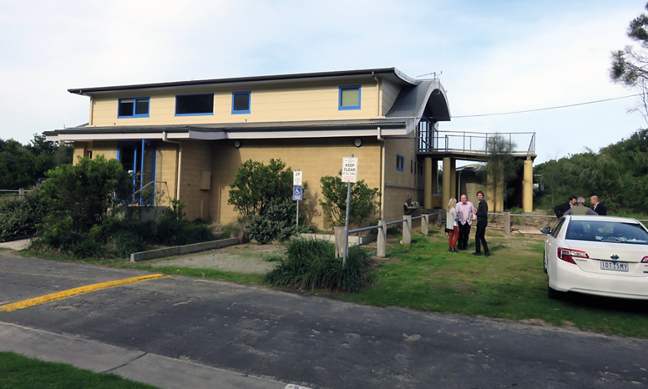
Location of the building is one of the most crucial steps as an adequately established and well-kept immediate area around the building will limit fire spread. Such an area is usually referred to as asset protection zone (APZ) or defendable space. When planned and designed rather poorly, APZ can significantly add to the fire by providing extra fuel. As such, Christmas Day 2015 bushfires devastated two Victorian coastal communities – Wye River and Separation Creek. Fires detected were not severe but resulted in significant damage to both towns destroying 166 houses. It has been acknowledged that house-to-house ignition and quality of upkeep of the structures and their surrounding areas were major factors in house losses. This fire event shed light on a two-fold issue – building regulations alone might be insufficient, and more attention should be given to space characteristics surrounding the development, both of which can be at least practically addressed by planning. As such, structure of houses alone is not sufficient as it often relies on integrity of the building envelope and if embers enter the house through a gap, there is very little that can stop it from igniting. Intelligent site design provides an additional layer of protection when limiting flame contacts with the building through a well-established APZ.
However, despite application of the best practices and most advanced measures, they still have regulatory limitations, and they will fail if end users do not understand, do not accept or do not follow them. For example, if landowner does not clean gutters prior to the bushfire season, does not have evacuation plans, does not understand risks of staying and defending property, stores potential fuel sources immediately next to a structure or under it, does not maintain APZ, etc. the most advanced and well thought through protections will fail. Therefore, it is imperative to inform and enable the community so they can effectively live with the fire and manage their risks appropriately. Collaborative and inclusive nature of planning allows for informative inclusion of the community at all stages of development.
In conclusion, increasing bushfire impacts on communities highlight that we must seek alternative and collaborative ways of risk reduction, including community education and outreach. The main aim of this paper was to offer some examples of planning tools that could be used to reduce such risks. It argued that urban planning offers a suite of tools at both temporal and spatial scales that can address some of the growing issues related to bushfire in Australia and other jurisdictions of the Asia Pacific region. Although this paper is limited in scope and size, it brings to light a larger body of literature and research that could be considered by interested parties.
For more information, email maria.kornakova@fpaa.com.au
About the Author

Dr Maria Kornakova is Manager Bushfire Services at FPA Australia. Maria successfully completed her PhD at the University of Melbourne and postdoctoral fellowships at the University of Melbourne and Massey University, NZ. The key focus of her research and professional interest is bushfire risk reduction practices through building, planning and architecture. Maria transferred to the industry to practically apply skills and knowledge gained
over the years of her academic career and joined FPA Australia
in December 2018.
